Climate & Environment
NVCA seeks engineers for Upper Boyne River floodplain mapping
The Nottawasaga Valley Conservation Authority has issued a request for proposals for hydraulic modelling, an erosion hazard assessment and floodplain mapping in the Township of Mulmur.
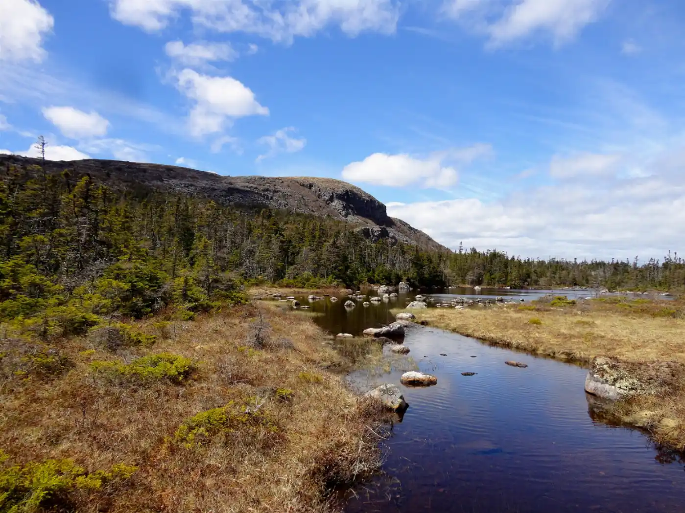
The Nottawasaga Valley Conservation Authority is requesting quotes from qualified professional engineers for floodplain mapping work on the Upper Boyne River in Ontario, the authority said in a request for proposals posted Oct. 15, 2026.1
The work covers three items: a hydraulic model of the Upper Boyne River through Mulmur, an erosion hazard assessment capturing a critical crossing along the Boyne in Mulmur, and floodplain and erosion hazard mapping for the Township of Mulmur in that area, according to the request.1
Deadline and submission rules
Quotations will be received until 4:00 p.m. local eastern standard time on Oct. 27, 2026, the authority said. Late quotes will not be considered.1
Bidders are encouraged to deliver quotes electronically, in PDF format, with the subject line "Confidential – RFP 03/2026 Nottawasaga Valley Conservation Authority Upper Boyne River Floodplain Mapping." Quotes sent by fax cannot be accepted, the authority said.1
The authority said the lowest quote will not necessarily be successful or accepted, and that it reserves the right to accept any quote, reject any or all quotes, or accept more than one contract.1
Selection will take place by the week of Oct. 26, with the successful bidder notified after that time, according to the request. Only the successful candidate will be notified.1
The request is numbered RFP 03/2026. Completed quotations are to be delivered to Dalia Al-Ali at the Nottawasaga Valley Conservation Authority, John Hix Conservation Administration Centre, 8195 8th Line, Utopia, Ontario, L0M 1T0.1
The authority said the document is available in an alternative format on request, by phone at 705-424-1479 or by email at dal-ali@nvca.on.ca.1
AI-assisted reporting under human editorial direction. Our editorial approach.
Sources
- RFP – Upper Boyne River Floodplain Mapping · Nottawasaga Valley Conservation Authority

Comments
No comments yet.